Loop of Notre Dame des Anges
Contact details
Presentation
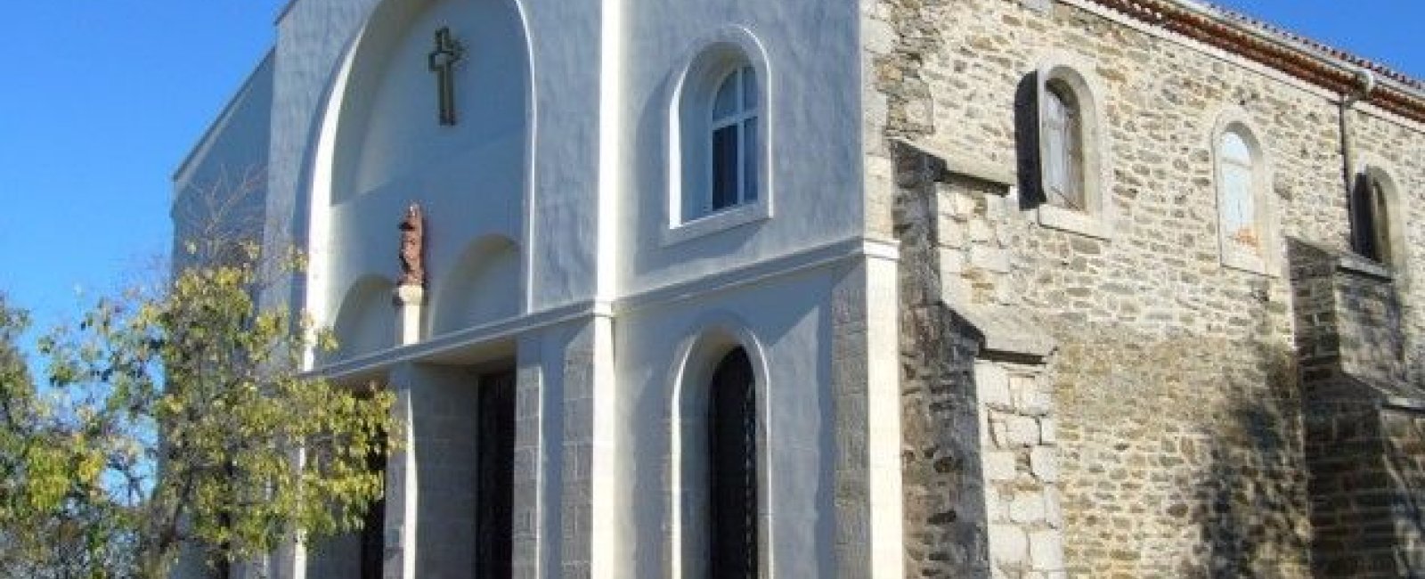
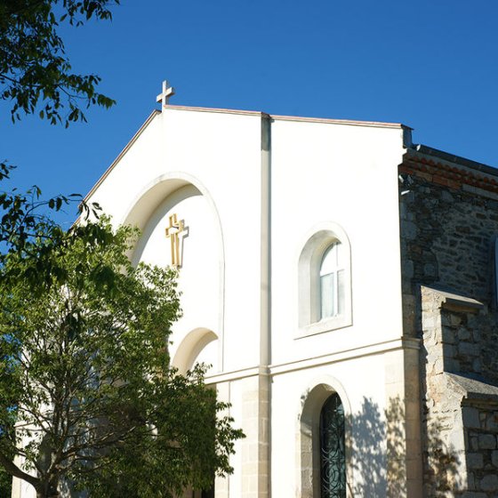
This chapel rises to 768 metres on the second-highest peak in the Var. To get there, you'll have to hike for more than 7 hours (return journey) on a path with a steep gradient.
Then return along the GR90 back to the village of Collobrières.
PRACTICAL INFORMATION:
Start from the stadium car park (east entrance to the village). Go to the Tourist Office, boulevard Caminat, take the Pont vieux in the direction of Confiserie Azuréenne then turn right and follow the GR90 Notre Dame des Anges.
ADVICE AND RECOMMENDATIONS:
- Bring hiking boots or trainers, water, hat or cap.
Always keep up to date with the weather conditions. During the hunting season, stay on the marked trails. In an emergency, call 112 for help. Traffic and parking of all motorised vehicles on DFCI roads is prohibited all year round. From June to September, before driving in the Var mountain ranges, check the opening conditions on the fire risk map (updated at 5pm every day for the following day) or by calling the tourist office.

